Pushing deeper into the Caucasus
And our first peek of Russia
Triumphing over the treacherous climb of Abano Pass, purely under our own steam, pushed us into a minuscule segment of tourists who were willing to visit Tusheti.
It’s a place separated from the rest of Georgia by its formidable geography, but also in its distance from modern life. A portion of the population is pastoral and lives to the rhythm of the seasons, which dictate when they move their herds from the mountain pastures, down to the semi-desert areas in southern Georgia.
Now, waking in Omalo, it feels like we’ve stepped back in time. This small town is the unassuming touristic epicentre for Tusheti. It is a village of a few homes that have “Restaurant” and “Hotel” written on the side with friendly families who will gladly take you in. There are no menus and the hotel rooms are actually bedrooms, but the hospitality is undeniable. Wandering around, we quickly understand that this remote village has adapted to support the growing demands of tourism. A low grinding sound reverberating through the village turned out to be a concrete mixer, constructing a new tennis court.
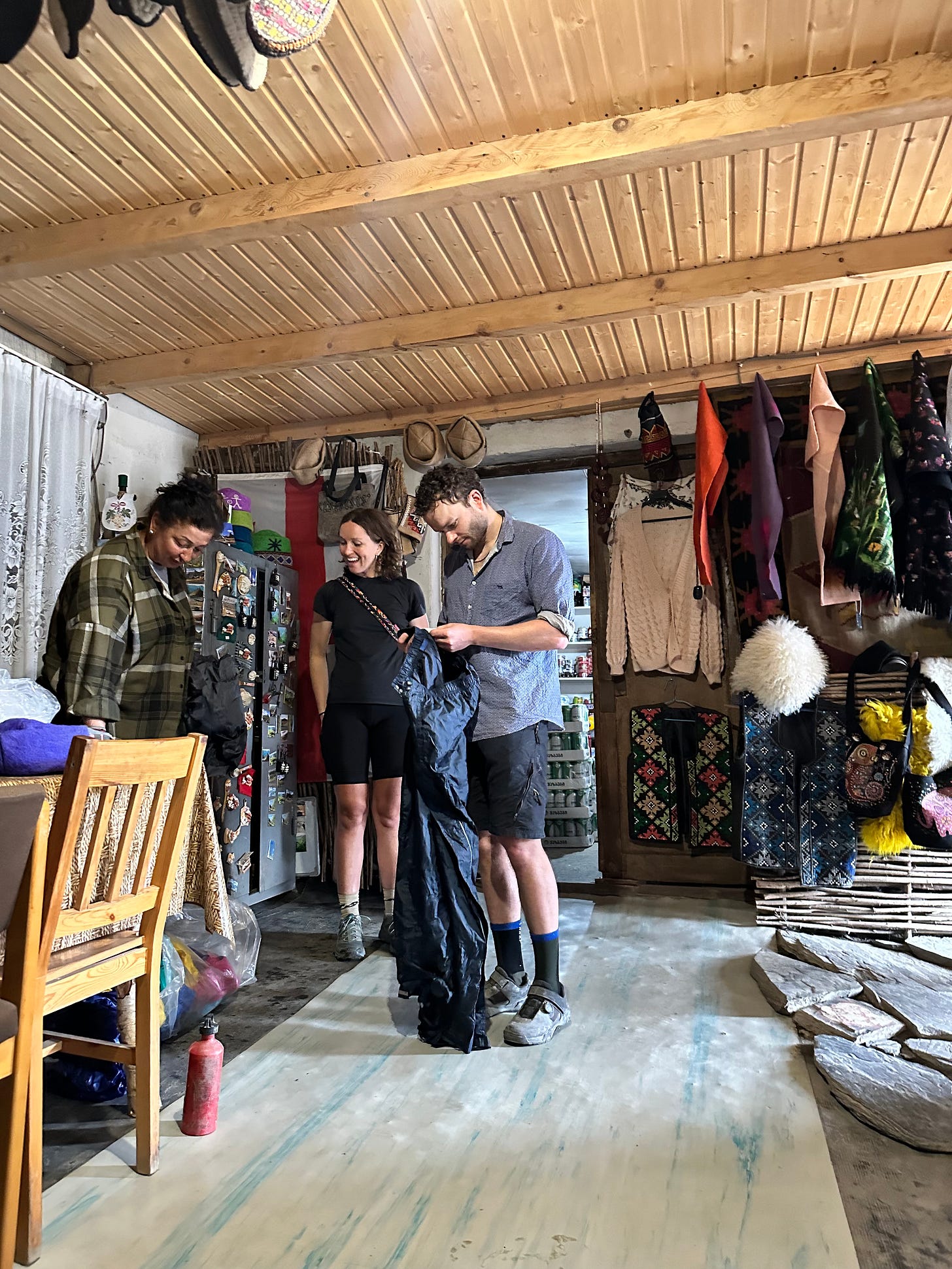
We amble into the only shop in town in search of resupply where the walls are decorated with souvenirs and hand-felted products. Excited by the locally-made offerings, we each pick out a Tushetian style felt cap. Isobel’s brother, Jack, had forgotten to bring long pants on the trip and made an anxious inquiry to the shop owner. To our great surprise, she had a huge garbage bag full of old sports gear! The items were a jumble of retro styles and bad colours, but Jack was able to select a pair of rain pants - an absolute necessity as we faced multiple high alpine days and near certainty of rain and snow.
We had lunch, talked about logistics and chose our ‘weather window’ for Atsunta Pass, the crux of the Caucasus Crossing. Feeling more confident in our timeline, we elected to leave our camping gear in Omalo and do a half-day side mission to Diklo Fortress, a ruin beside the Russian Border. Feeling 15kg lighter, the bicycles had a newfound freedom, charging down into the river valleys and up the other side, eager to lay eyes on Mother Russia.
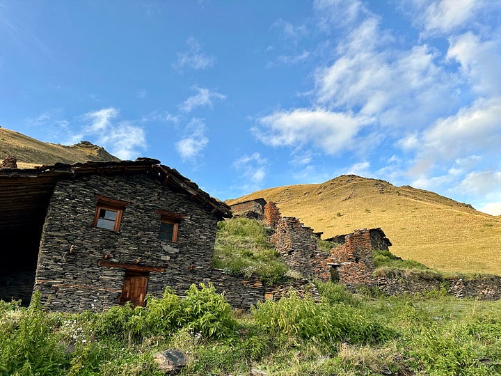
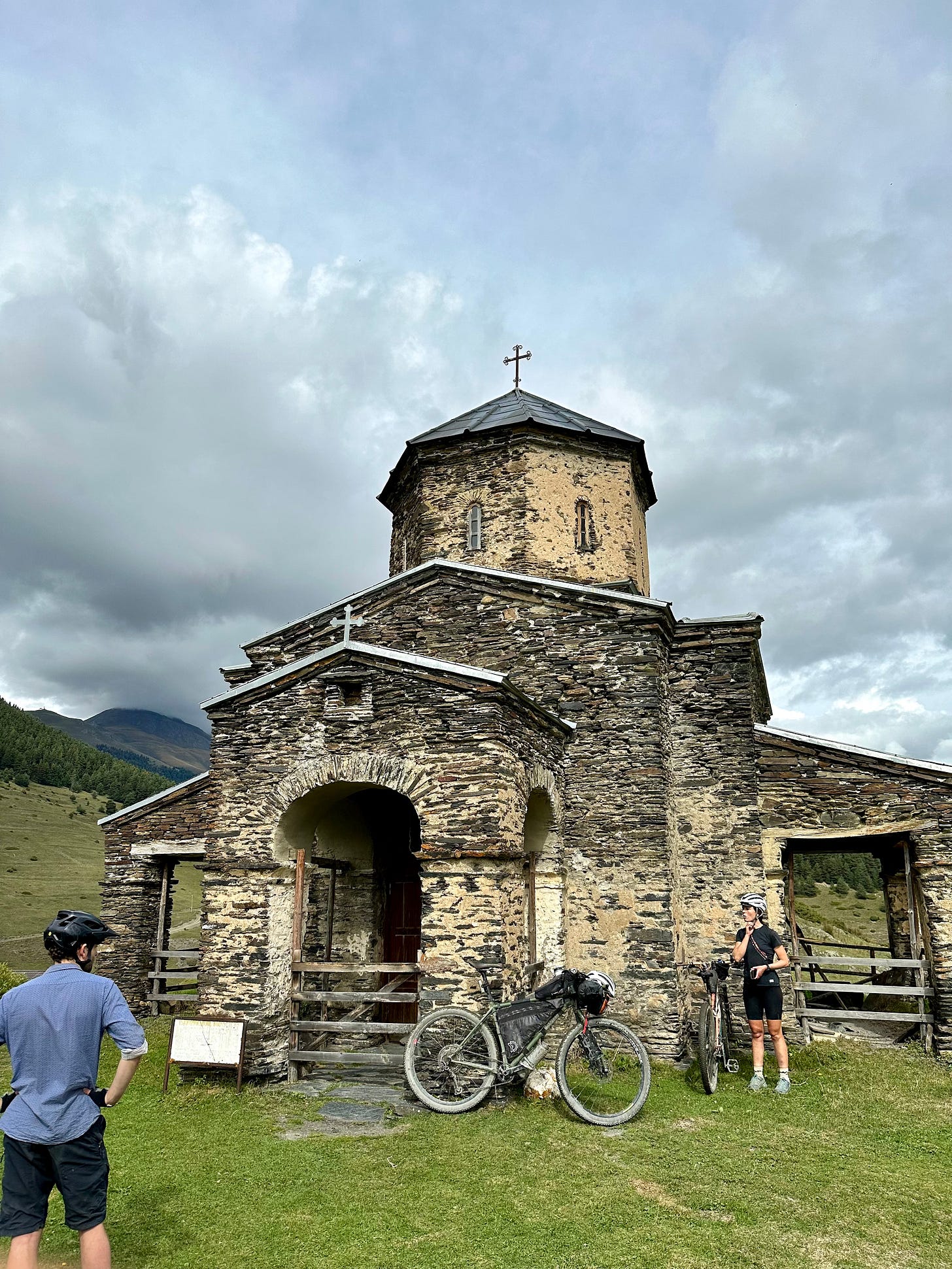
We passed through Shenako, marvelling at the ancient Tushetian homes, constructed in the traditional method of dry stacking rectangular chunks of slate. A Christian Orthodox church stands at the crown of the village, built in the classical shape we’ve come to recognise in Georgia. We’ve been told the Christianity here blends with Pagan traditions.

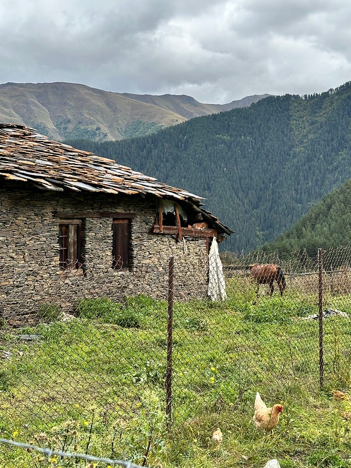
Pushing on to Diklo, we’ve read that we need to obtain a border proximity permit to see the fortress ruins. The border guards are located out of the way up a steep hill and we wonder if people actually go out of their way to secure these permits. The border agents sit us at a large round of wood, clumsily guiding us through the paperwork, betraying the infrequency of our request. Permit secured, we charged the last couple kilometres towards the fortress.
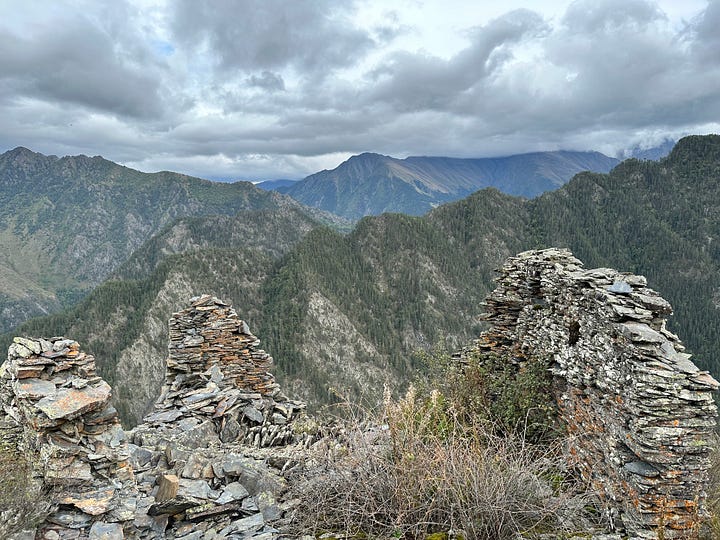
Standing in the remains of the fortress, staring across at Russia was a surreal experience. The geographical location of the Russian border stands between the Tushetians and their longstanding adversaries, the Dagestanis. Legend has it, this fortress was held by 16 Tush against 10,000 Dagistani invaders for 18 days. Though the numbers are impossible to believe, the sheer cliffs surrounding this fortress evoke a sense of utter disbelief that anyone could approach this fortress from below, much less attack it.
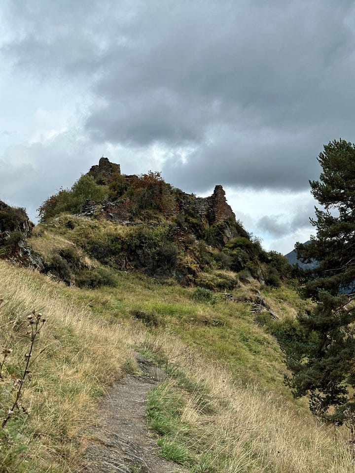
Chuffed with the extent of our adventuring, we rolled back to Omalo, enjoying a fast descent through the beautiful evening sun. A stop at a wine bar leads to an encounter with a particularly friendly local dog with markings around her eyes that lend her a striking similarity with Amy Winehouse. We’ve had many warning about the dogs in Tusheti. They’re famed for their aggressive nature, bred to defend herds of sheep from attacking bears and wolves. Apparently they also hate bicycles. As this dog bows her head and coyly wriggles over to our table, I’m immediately struck by how submissive she is, finding it hard to believe tomorrow she might chase us down and rip off our panniers.

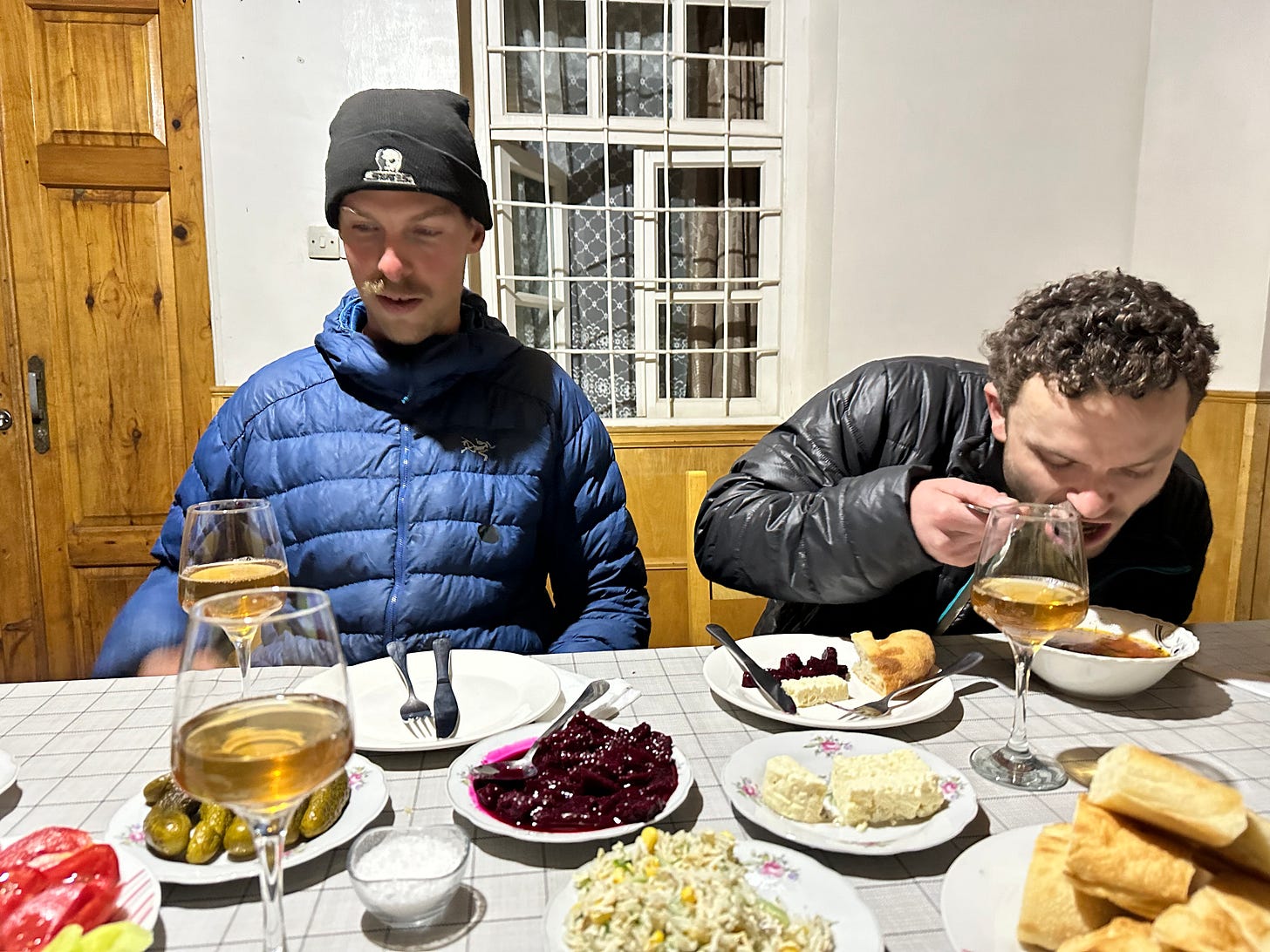
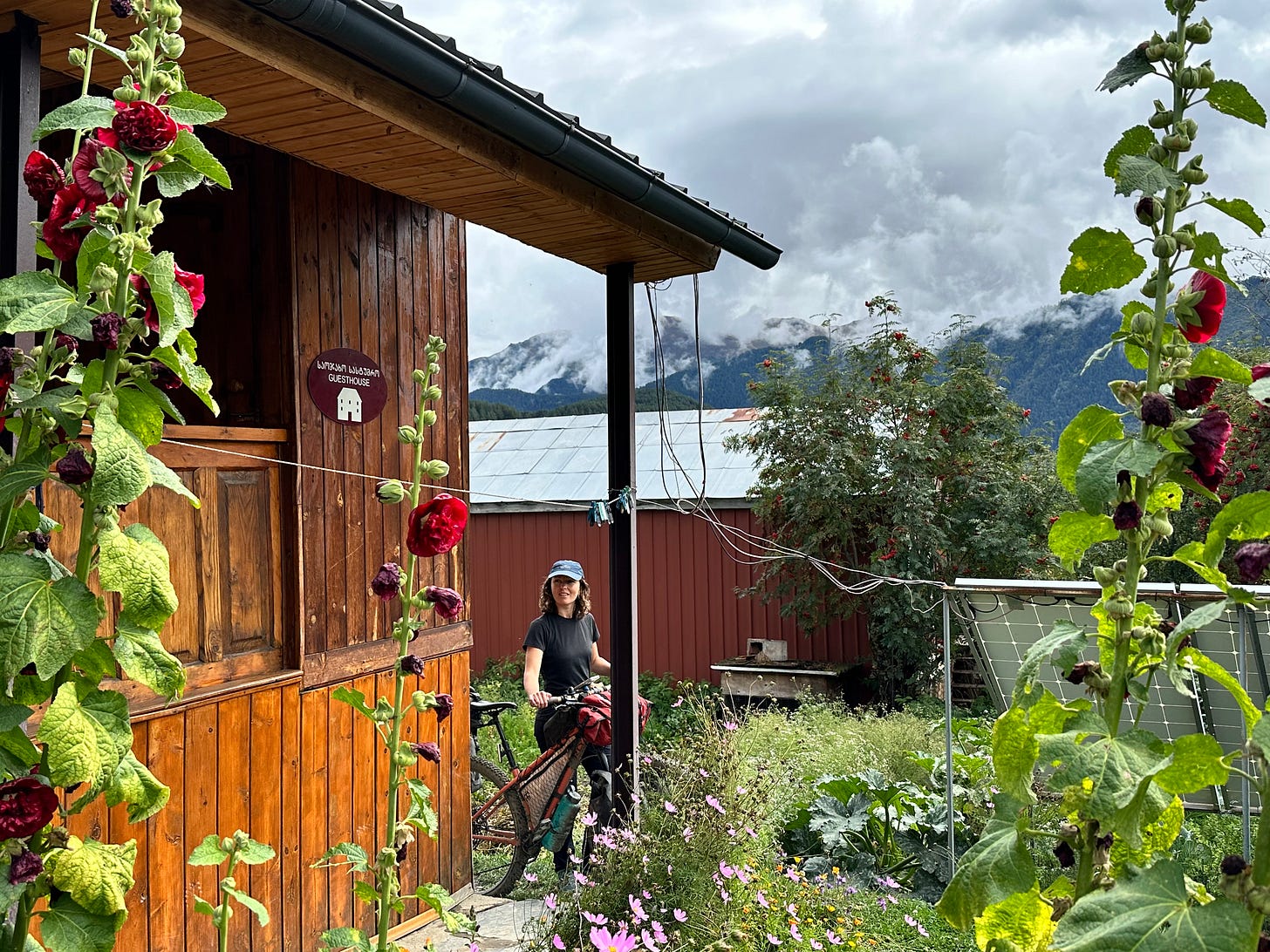
At our guesthouse, we were greeted with another home-cooked meal. The following day we packed up and relocated a couple kilometres to Upper Omalo to enjoy a true rest day spent eating, strolling and reading. We had an irksome conversation with a Dutch baby boomer couple who had been travelling the world for over 15 years on their teachers’ pension, who had nothing but complaints about the state of the world and their own government despite having been wards of the state since their mid 50s.
We had an incredibly comical dinner with a frenchman who travels the world staying in people’s homes to take care of their pets while they’re away. He is also a handyman for hire in Sydney, Australia, using an app which connects people in need with skilled labour. In fact, he takes on the contracts while out of the country and then subcontracts it to Sydney locals, taking a 30% cut. He claims to be the highest rated handyman, sporting thousands of positive reviews, largely while outside of the country. I can’t help but admire his resourcefulness, travelling the world on the cheap while making a steady income.
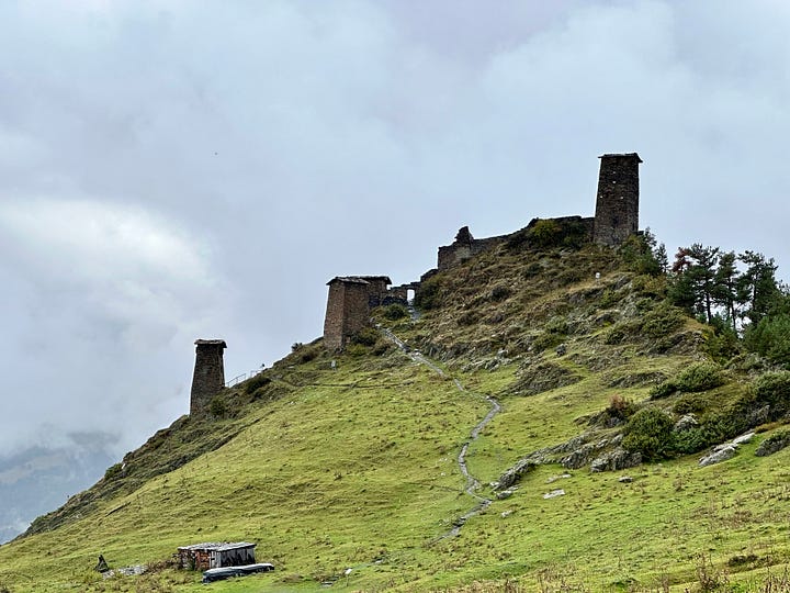

We recommence cycling the next day, going deeper into Tusheti, steadily gaining elevation. We pass through Bochorna, which claims the title of highest settlement in Europe at 2,345m above sea level. Bochorna is the home of Tusheti’s only doctor, a 82 year old man who endures the Caucasus winters and attends his patients on horseback.
As we continue, the mountain valley narrows and signs of autumn are more obvious. Here and there, we see herds of sheep, shepherd huts and brace against the bark of defensive sheep dogs.
Nearing the head of the valley, we remove our shoes and panniers to cross a river before starting up the valley wall. I say valley wall because it was truly this steep, abruptly rising 1165m to the ridgeline. Attacking the terrain single file, we heave our bicycles upwards, following a deeply gouged track which more closely resembles a rain rut than a hiking trail. At a pace of 1km/hour, we inch upwards, our loud grunts deadened by the thick brush which claws at our bodies, stunting our progress. “This wasn’t in the route description!” we bemoan, wondering why this demoralising segment didn’t have its own explicit warning in the guide.
After hours of effort, we tug free of the forest and rise into the grassy sub-alpine. With failing sunlight, we arrive at the ruins of an abandoned village which now functions as a stockyard for herdsmen bringing their animals down from the mountain top into the valley for the winter. We find a flat-ish tent area and with the light from our head-torches, we set to work clearing the innumerable fresh cowpatties from our camp area before settling in.

Waking from a chilly night, we eat some oatmeal and continue our upwards slog as we are only halfway to the ridgeline. Looking back down at our progress, we see a couple of men walking up behind us who catch up to us with surprising speed. These men had briskly walked up from the valley floor to tend to their herd of horses near the mountain top. They watch us struggle with the bikes then head off. Before they disappear, one of them runs back and offers Isobel a bottle of Coca-cola, generously boosting our morale with his gift.
Clouds cover the mountain tops all round and we wonder if our efforts will be rewarded with a view. Reaching the apex, we exchange high-fives and celebrate with some chocolate we’d been saving for the occasion.
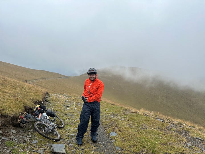
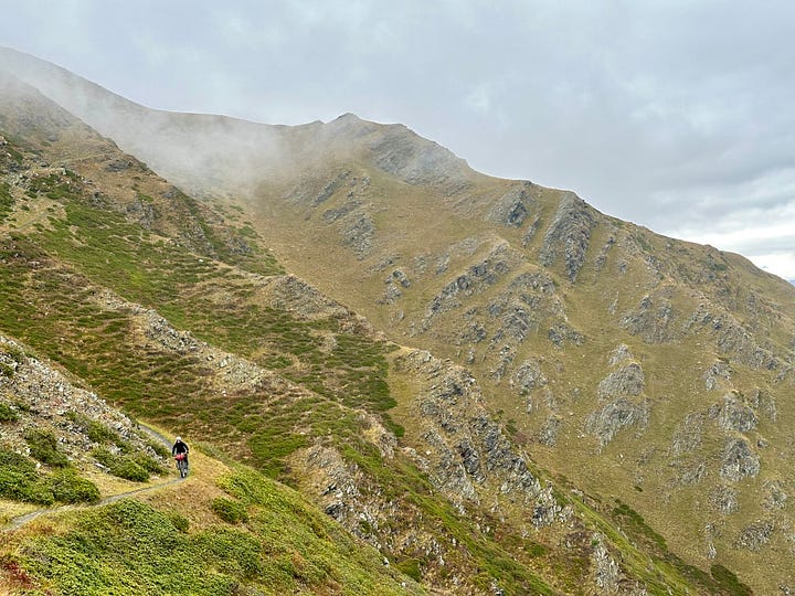
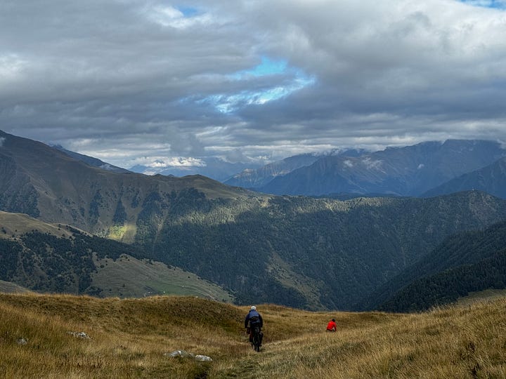
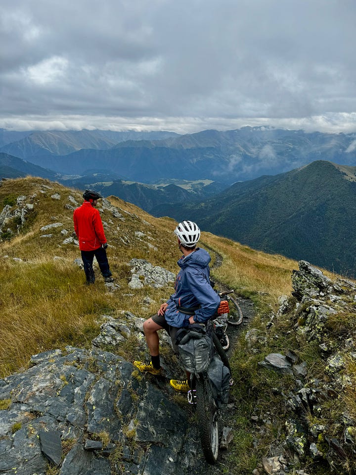
We descended from 3092m - chasing each other along flowing ridgelines, sidling the steep mountainside, criss-crossing alpine faces and finally bombing the gravel road into Dartlo at 1810m. It had only been one night in the tent, but we felt vastly deserving of a large meal, hot shower and comfy lodgings void of cowpats.
With harsher weather approaching, we knew the last favourable weather window to cross Atsunta Pass was the day after tomorrow, and we still had to make it to base camp. Feeling a knot of excitement in my belly, I fell asleep knowing that the best was still to come.





Great report, thanx. Dartlo sure looks like an isolated place, do they have power and water? Looks like no cars can get up there?